Interactive map improvements help make accessible navigation easier

The interactive campus map was improved this year to enhance the way students, faculty, staff, and visitors navigate our campus. Originally launched in 2022, the interactive map is a collaborative effort by the Enterprise GIS group and their partners in the Division of Campus Planning, Infrastructure, and Facilities. It was designed not only to provide a more tailored user experience, allowing users to customize visible layers and create routes, but also to enhance accessibility by providing features such as a navigation tool with an accessible route planner.
One of the map’s most notable upgrades during FY 2024 was to the navigation tool. Users can now select for the tool to either create an ADA accessible route, which exclusively uses accessible pathways, or a “walking route” which provides the shortest walkable pathway from point A to point B. When selected for “ADA routes only,” the tool automatically checks for any pathway closures, construction sites, or other potential obstacles and can route the user around those sites. It also only selects pathways with gradients suitable for wheelchair users.
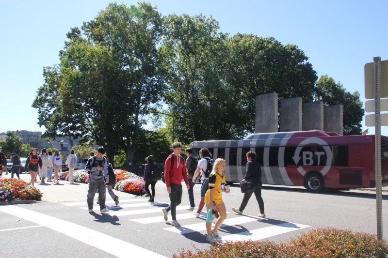
The map also now provides more detailed information on Blacksburg Transit routes and schedules. These upgrades reflect our commitment to improving the campus experience and leveraging technology to meet the needs of our community.
Related Content
-
Article Item